Taylor Kaatz
GIS Analyst - Austin, Texas
Welcome to my personal website, where you can learn about my experience helping clients optimize their use of GIS resources.

Collaborating with clients to understand their GIS needs, gather requirements, and present results in a clear and concise manner.


Assisting professionals across various fields, including environmental specialists, biologists, geologists, archaeologists, and historians, helping them leverage geospatial data and tools to achieve their project goals
Esri's suite of GIS software and applications, including ArcGIS Pro, ArcGIS Online, Portal for ArcGIS, and related tools for spatial analysis.

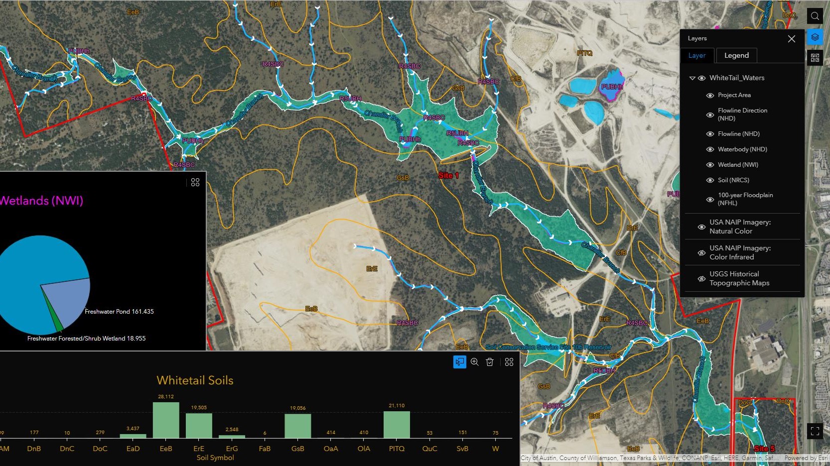
Data visulization, creating maps, and interactive web-based visualizations.
Managing GPS inventories, developing mobile maps for data collection, and ensuring accurate data through training and on-site support for field personnel.


Identifing inefficiencies and implementing improvements to processes and methods by creating custom tools, scripts, and map templates with HTML/CSS, JavaScript, Python, and SQL.
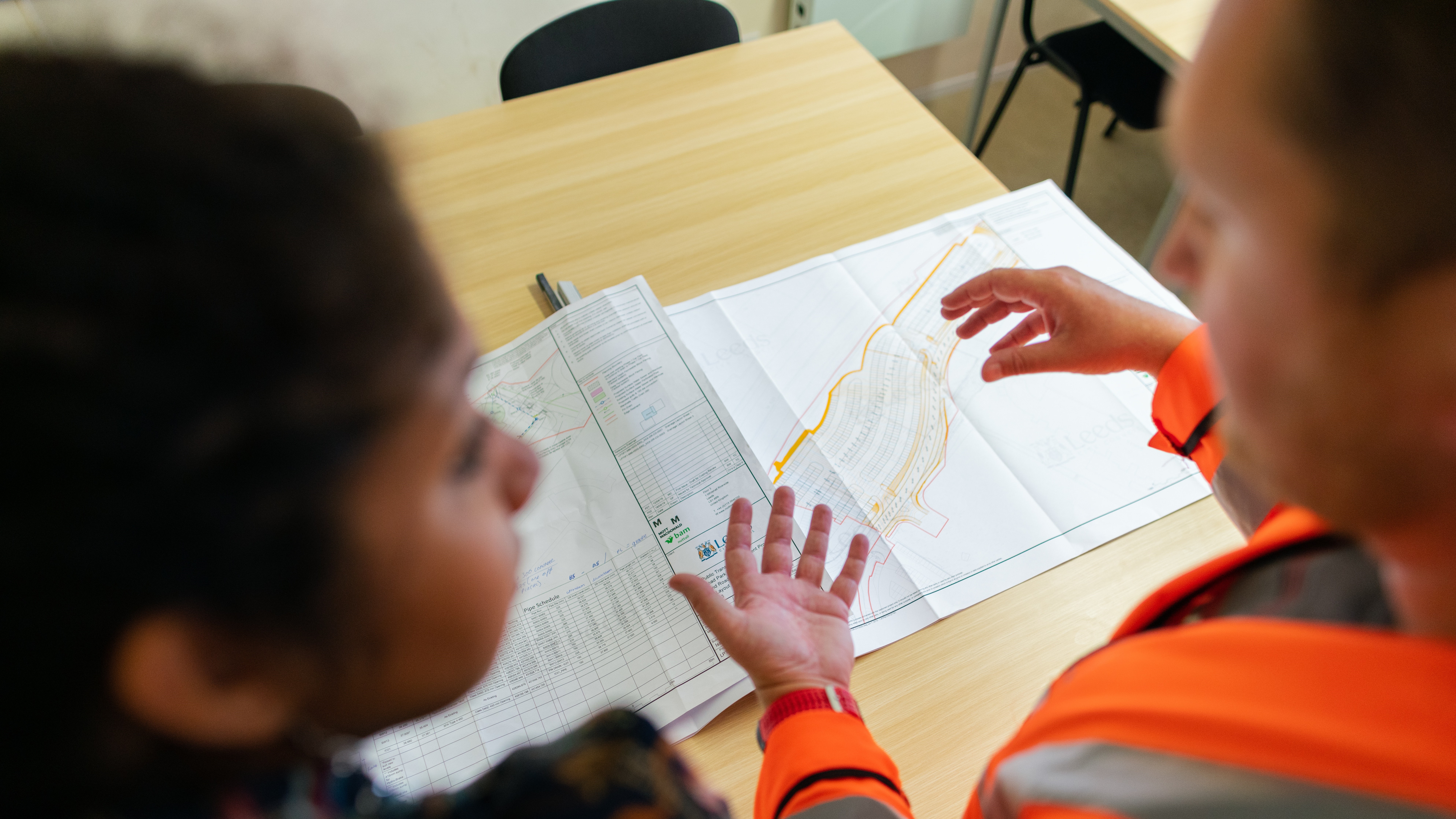
Interpreting engineering documents and converting CAD design files for use in ArcGIS products


Knowledge of environmental regulations, permitting, data sources, and compliance.